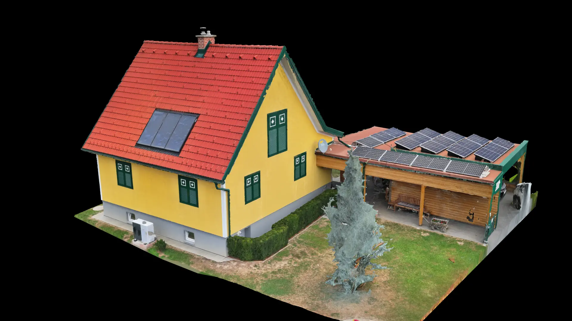
Photogrammetric measurement for planning and costing. Not a cadastral or boundary survey.
- Centimetre-accurate RTK capture
- Annotated orthophoto of every roof plane
- Measurements ready for PV planning
Accurate roof dimensions without a ladder, scaffold or roof access: RTK drone capture, scaled orthophoto, roof lengths, areas and slopes, PDF report within 24 to 48 hours.
Built especially for roofers, sheet-metal workers and PV installers who need reliable measurements for a quote without going onto the roof themselves – the measurements feed straight into PV planning.
Your benefits
- Centimetre-accurate RTK capture instead of manual remeasurement
- Annotated orthophoto of every roof plane as a traceable planning basis
- Measurements ready for PV planning – one visit saves the PV company its own site visit
- No roof access needed – safe even on steep or fragile roofs
Applications
Single-family roofs · Multi-family buildings · Commercial roofs · PV planning basis
How it works
- 01Enquiry with property address and desired output format
- 02RTK flight planning & appointment
- 03On-site drone flight over the roof
- 04Orthophoto & PDF report with areas, lengths and slopes within 24–48 hours
Suitable for
Roofers & sheet-metal workers · PV installers · Planners · Owners
One visit, reliable measurements – without anyone climbing onto the roof. That saves time on every quote.
from € 99 · standard single-family roofGross incl. VAT
Enquire now →